


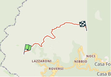

4,5 km | 6,1 km-effort

Tous les sentiers balisés d’Europe GUIDE+


Kostenlosegpshiking-Anwendung
 SityTrail
IGN / Geografische Institute
SityTrail World
Die Welt öffnet sich für Sie
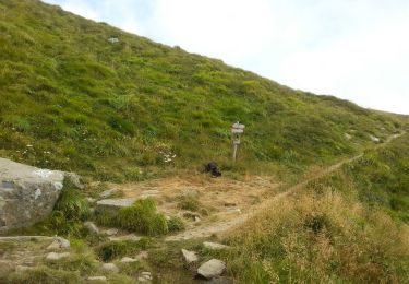
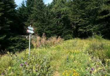
Tour Zu Fuß von 4,5 km verfügbar auf Emilia-Romagna, Bologna, Alto Reno Terme. Diese Tour wird von SityTrail - itinéraires balisés pédestres vorgeschlagen.
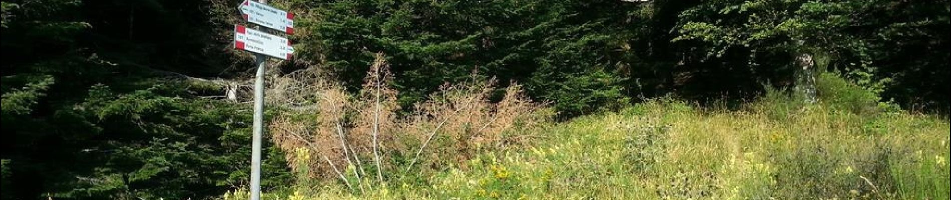
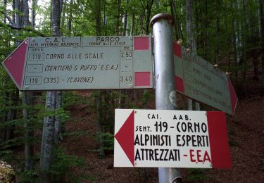
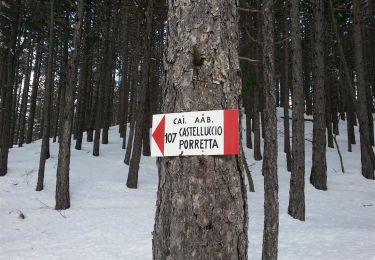
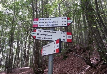
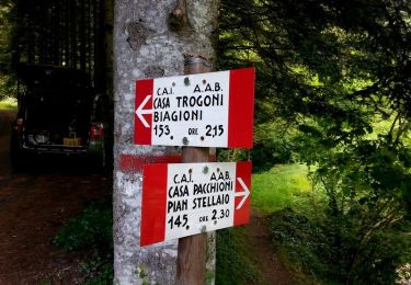
Trail created by CAI Porretta Terme.
Website: http://www.caiporretta.it/


Zu Fuß
Zu Fuß
Zu Fuß
Zu Fuß
Zu Fuß
Zu Fuß
Zu Fuß
Zu Fuß
Zu Fuß